A Land of Rolling Rugged Hills and Abundant Water
Known as the Pecan Capital of the World and located on the northern edge of the Edwards Plateau on the middle course of the Colorado River and near the geographic center of the State, the county contains 1,122 square miles and a 1980 census of 5,841 people. Consisting primarily of rolling, wooded hills, the county is bisected by the San Saba River with the Colorado River running along its northern and eastern borders. The economy of the area is chiefly agriculturally based on cattle, sheep, goat, swine, and turkey raising in addition to a pecan production of two to five million pounds annually. The county is also a major producer of building stone and is known throughout the State as a leading hunting area.
Most of the county is located in the geographic area known as the Llano Basin; a small portion of the northern section of the county is in the West Cross Timbers. The terrain is rolling but in some areas is quite rugged. Ranching is the major occupation in the rougher areas, while farming is a leading activity in the valleys of the Colorado and San Saba rivers. Soils are alluvial in the valleys, with some sandy soils and sandy loams, while the uplands have a greater concentration of black and gray soils. Elevation ranges from 1,100 feet to 1,800 feet; the City of San Saba is 1,200 feet above sea level. Rainfall averages 28.22 inches annually.
Average mean minimum temperature in January is 34 degrees and average mean temperature in July is 96 degrees. Average first frost is November 14th, and average last frost is April 1st.
San Saba Peak, located in south central Mills County about seven miles south of the town of Goldthwaite, has an elevation of 1,712 feet.
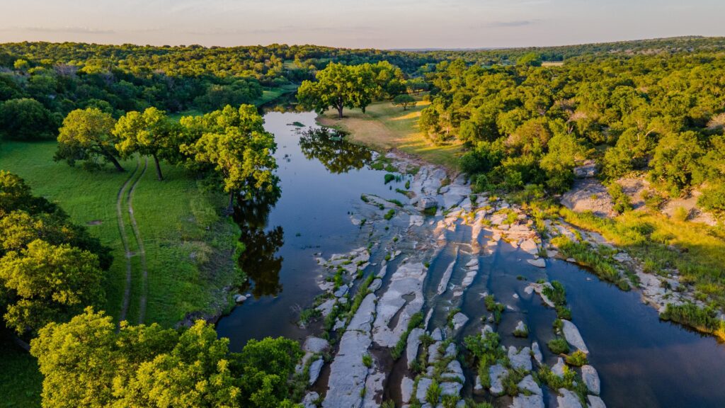
The San Saba River rises in eastern Schleicher County in three head streams known as North Valley Prong, Middle Valley Prong, and Terrett Draw. The three streams unite to form the San Saba River near Fort McKavett in western Menard County. From that point the river flows east northeast approximately one hundred miles through central Menard, northwestern Mason, southeastern McCulloch, and central San Saba counties to join the Colorado River eight miles northeast of the town of San Saba in eastern San Saba County. The stream drains an area of 3,150 square miles. The river is historically significant as the location of the mission of San Saba de la Santa Cruz and the San Saba Presidio.